Free USGS Topo Maps (Printable PDF)
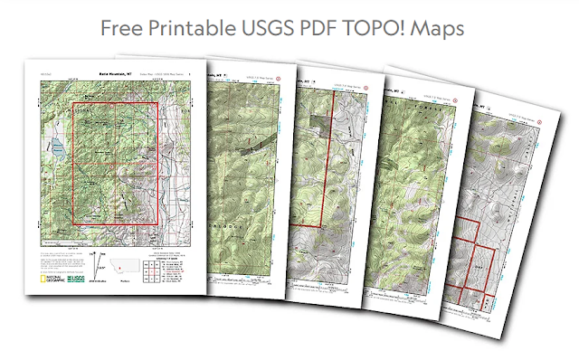
National Geographic is allowing everyone to easily download any USGS 7.5 minute topo map of the continental U.S. as a multi-page PDF that can be printed on letter size paper on any printer. These are the same topographic maps that were published by the U.S. Geological Survey for decades.
- Page 1 is an index map showing each of the printable quarter-quad maps in their broader context
- Pages 2-5 are the topo quarter-quads, sized and scaled to print on US-letter size paper
- They've added hillshading to help visualize the topography
https://www.natgeomaps.com/trail-maps/pdf-quads

.png)


Comments
Post a Comment